WayfindWayfind: Road-Trip Route Planner
What it does for you
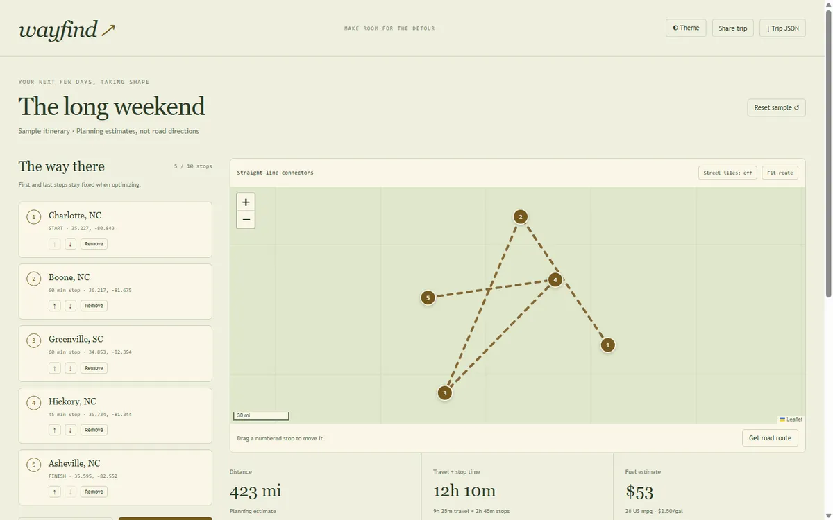
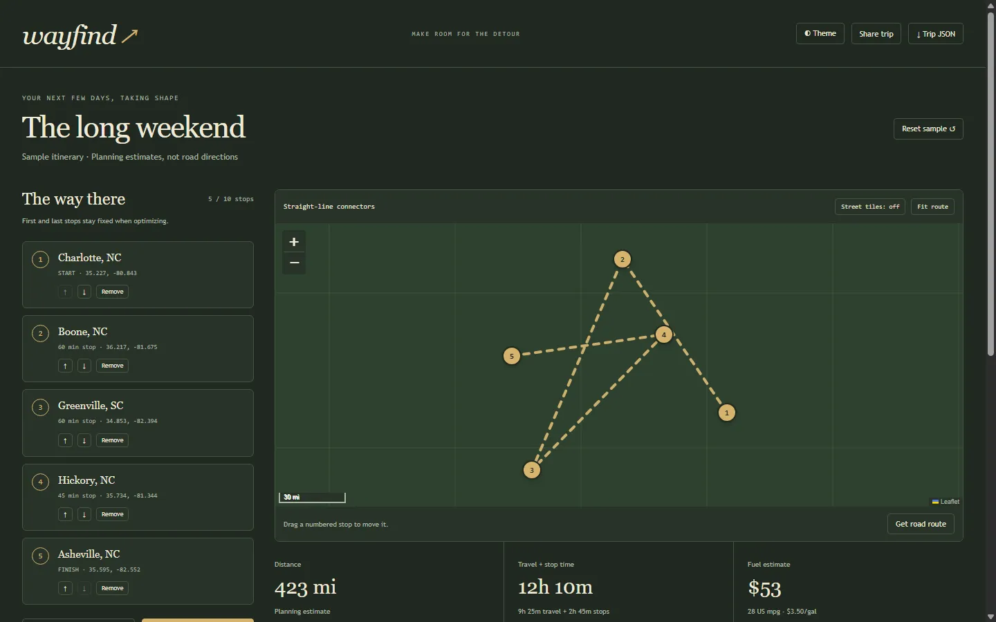
Plan a multi-stop trip, test the stop order and see the assumptions behind its budget.
Screenshots
In more detail
Wayfind is a map-based road-trip planner. You add up to ten stops, drag the pins around, and it finds a shorter order for the stops in between. It also shows the fuel and lodging math behind the budget, so the estimate never looks more precise than it is.
Honest limits
Nominatim, OSRM and street tiles were never called live. Their adapters were tested against fixtures where that applied. Fuel and timing numbers are planning assumptions: no live gas prices, no traffic, no reservations, no turn-by-turn directions. A trip saves only in the browser. The 44 checks pass and the browser flows were checked, but nothing here has been driven on a real trip.
How I built it
Codex built this one. It sat on the Codex list in the split file that let Codex and Claude Code work in parallel without stepping on each other. Codex wrote a LOG-ENTRY.json in the project folder, and Claude Code checked it and merged it into the tracker. The tracker logs it at about 0.16 hours.
I set the scope: offline and no spend. Codex wrote the routing and budget core, the map interactions, the adapters for public map services and the tests. It left the real routing and place search uncalled on purpose and marked the sample points of interest as fictional. An offline sample loads right away, and any public-service call is explicit and cached.
The core trick is Held-Karp, a dynamic programming method that finds the exact shortest order of the middle stops with the start and end fixed. The tests compare it against brute force across varied stop sets, so I know it is exact, not just close.
What I learned
- Optimizing a straight-line distance is not optimizing road time. The objective has to be named right where people see the savings, so the interface labels the straight-line result separately from the optional road result.
- A road-service response can arrive after the trip has already changed. Wayfind compares the response's stop key to the current trip before applying it.
- Map fitting has to react to layout changes. On mobile, one sample pin fell below the visible map until a resize observer refit the view.
- A route is only as precise as the metric and the source behind it.
What carried forward
Wayfind came out of the same Codex run as #101 Pit Stop, and the two share a family resemblance: Leaflet maps, fictional sample places, optional OSRM routing that was never called live, and honest labels on anything estimated. It is not a code import, more a shared set of habits. It also sits alongside #85 (Geo Data Story) on that same Codex list, which kept the spatial work in the consumer and travel lane.
If I took it further
I would pull a real driving-time matrix from a routing service before claiming the optimized order is fastest by road. Bigger trips or shared editing would need a different solver and signed-in storage.
#093 Built with Codex September 24, 2026 44 automated checks